Wyoming Geology Links
|
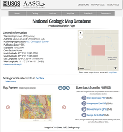
Geologic Map of Wyoming by Love and Christiansen, 1985, United States Geological Survey, National Geologic Map Database, 40 MB
https://ngmdb.usgs.gov/Prodesc/proddesc_16366.htm |
|
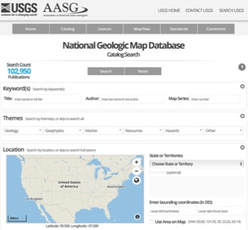
United States Geological Survey National Geologic Map Database (search engine for free downloadable USGS maps): https://ngmdb.usgs.gov/ngm-bin/ngm_compsearch.pl |
|
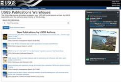
United States Geological Survey Publication Warehouse (search engine for free downloadable USGS technical papers): https://pubs.er.usgs.gov |
|
|

|
Wyoming History Links
|
Wyoming Association of Professional Archaeologists and the Wyoming Archaeological Society: http://www.wyomingarchaeology.org/home.html |
|
|
|
|
Wyoming State Historical Society History Journal (on line): https://www.wyshs.org/publications/annals-wyoming-wyoming-history-journal/volumes-available-online |
Wyoming Map Links

|
Geologic Map of Wyoming by Love and Christiansen, 1985, United States Geological Survey, National Geologic Map Database, 40 MB
https://ngmdb.usgs.gov/Prodesc/proddesc_16366.htm |
|
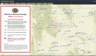
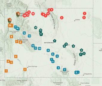
Visit Wyoming's Geology map with eight major geological sights, locations of Wyoming State Parks with links to geology, locations of Wyoming museums with links, location and tidbits on other Wyoming geological sights, Wyoming State Geological Survey
https://wsgs.maps.arcgis.com/apps/MapSeries/index.html?appid=d89f3810924b4c35884d58481b7ac01a |
|
Wyoming geology: Look, learn while on the way to Yellowstone, Wyoming State Geological Survey
https://storymaps.arcgis.com/stories/9a5c13d9d4d040a0bc0c29e06ecdcf19 |
|
Wyoming ORV Maps (mountains & surrounding foothills): http://wyoparks.state.wy.us/index.php/orv-trails/orv-maps |
|
Wyoming Snowmobile Maps (mountains & surrounding foothills): http://wyoparks.state.wy.us/index.php/snowmobile/snowmobile-maps-trails |
Wyoming Picture Links
|
|
|
Wyoming Rock Hounding Links

|
|
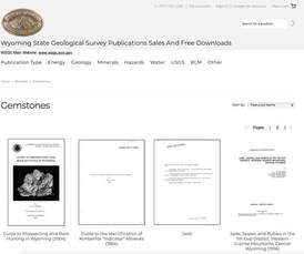
Wyoming State Geological Survey Publications on Gemstones (three pages of various publications, free downloads): http://sales.wsgs.wyo.gov/minerals/new-category/?sort=featured&page=2 |
|
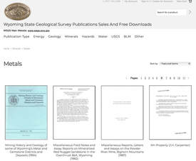
Wyoming State Geological Survey Publications on Metals (fifteen pages of various publications, free downloads): http://sales.wsgs.wyo.gov/minerals/new-category-2/?sort=featured&page=6 |

|
Gemstones and Other Unique Minerals and Rocks of Wyoming: A Field Guide For Collectors (free download at WSGS): http://sales.wsgs.wyo.gov/gemstones-and-other-unique-minerals-and-rocks-of-wyoming-a-field-guide-for-collectors-reprinted-2014/ |
|
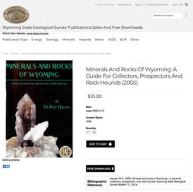
Mineral and Rocks of Wyoming – A Guide for Collectors, Prospectors, and Rock Hounds (free download from WSGS): http://sales.wsgs.wyo.gov/minerals-and-rocks-of-wyoming-a-guide-for-collectors-prospectors-and-rock-hounds-2005/ |
|
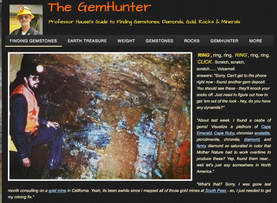
The GemHunter – Professor Hausel’s Guide to Finding Gemstones, Diamonds, Gold, Rocks & Minerals (website & blog by Hausel): https://gemhunter.webs.com |
|
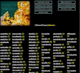
Theimage.com (property data on 172 minerals and 866 photos): http://www.theimage.com/mineral/index.htm |
Wyoming Travel Links
|
|
|

|

|
|
|
|
Wyoming Trails Program (ORV and snowmobile trails in mountains): http://wyoparks.state.wy.us/index.php/home-trails/ |